Field notes: the week two neighboring reservoirs told opposite clarity stories
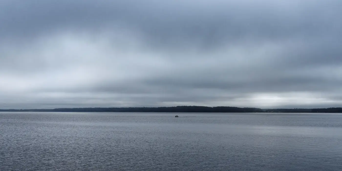
Every analyst who has run a lake monitoring program long enough has a week like this one. Two reservoirs sit in the same general watershed, pull rain off the same front, sit at roughly the same elevation. You'd expect them to move together. Instead, one comes back clearer than it's been all season and the other turns over into a visible bloom, and you spend an afternoon staring at two charts trying to figure out what you're missing.
The setup, roughly: a mid-sized impoundment on the west side of a county, fed by a mostly forested watershed, and a second reservoir eight or nine miles east, fed by a creek that runs through more cropland and a couple of small towns before it reaches the lake. Both got the same two inches of rain over a weekend. Both are the kind of water bodies a utility checks on a rotation, not every week, because a boat run costs staff time and nobody has enough of it for every lake in the district.
The west reservoir's turbidity dropped. That one's not mysterious once you think about the geometry. Forested watershed, low grade, not much exposed soil to mobilize. The rain diluted whatever nutrient load was sitting in the epilimnion and the lake came back cleaner than the week before. A boat crew would have called it a good week and moved on to the next site.
The east reservoir told a different story, and it's the one that matters more for a source-water program. Turbidity spiked, which you'd expect from a cropland-heavy watershed after a storm. But it didn't settle out over the following days the way a simple sediment pulse usually does. Chlorophyll-a climbed right alongside it.
That combination, a sediment spike that doesn't fall off and rising chlorophyll on its heels, usually means the storm did two things at once: it stirred up bottom sediment in the shallows and it delivered a nutrient load that the standing algal population was sitting there ready to use. The lake didn't just get muddier. It got fed.
That's the kind of divergence you only catch if you happen to be looking at both lakes in the same week, and that's the part of this job that doesn't get talked about enough. Most source-water monitoring programs are built around a rotation precisely because nobody can afford to put a boat on every impoundment every week. So the lake that quietly turns the corner into a bloom often does it on the week you weren't scheduled to visit, and you find out about it the way everyone finds out about it, after someone calls about taste and odor.
What a weekly, region-wide clarity read actually buys you isn't a better number on the lake you were already watching. It's the other lake. The one that wasn't due for a visit, the one three watersheds over that nobody budgeted boat time for this month, showing the same chlorophyll-turbidity pattern a week before anyone would have thought to check it by hand. A regional pass that covers every lake in your district on the same weekly cycle turns that into routine coverage instead of a lucky guess about which reservoir to visit this week.
The two-reservoir story is a good reminder that clarity doesn't travel with rainfall the way people assume it does. Watershed land use, retention time, and whatever the algal population was already doing before the storm hit all matter more than how many inches fell. The lakes that look the same on a map can behave nothing alike in the water.
If your rotation has ever missed a bloom because the wrong lake came due that week, it's worth seeing what a weekly reading on all of them looks like.